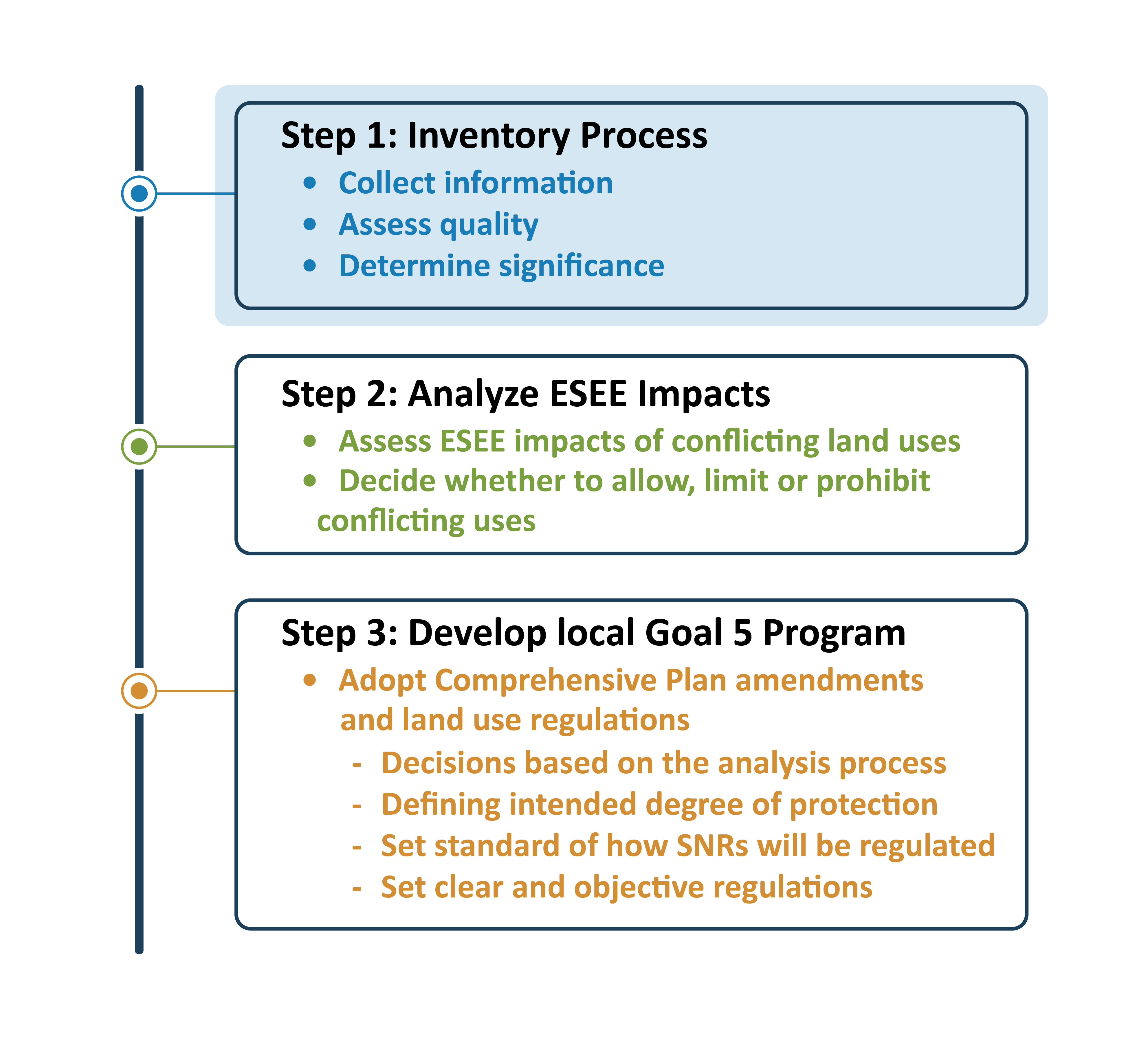
Our inventory process began by consolidating Washington County and Metro natural resource inventory maps. We then adjusted this consolidated map to show the natural resources that remain significant. Next, we did a manual review and data cleanup. Finally, we added data that was acquired in more recent planning studies for areas added to the Urban Growth Boundary after the County’s original Inventory was created.
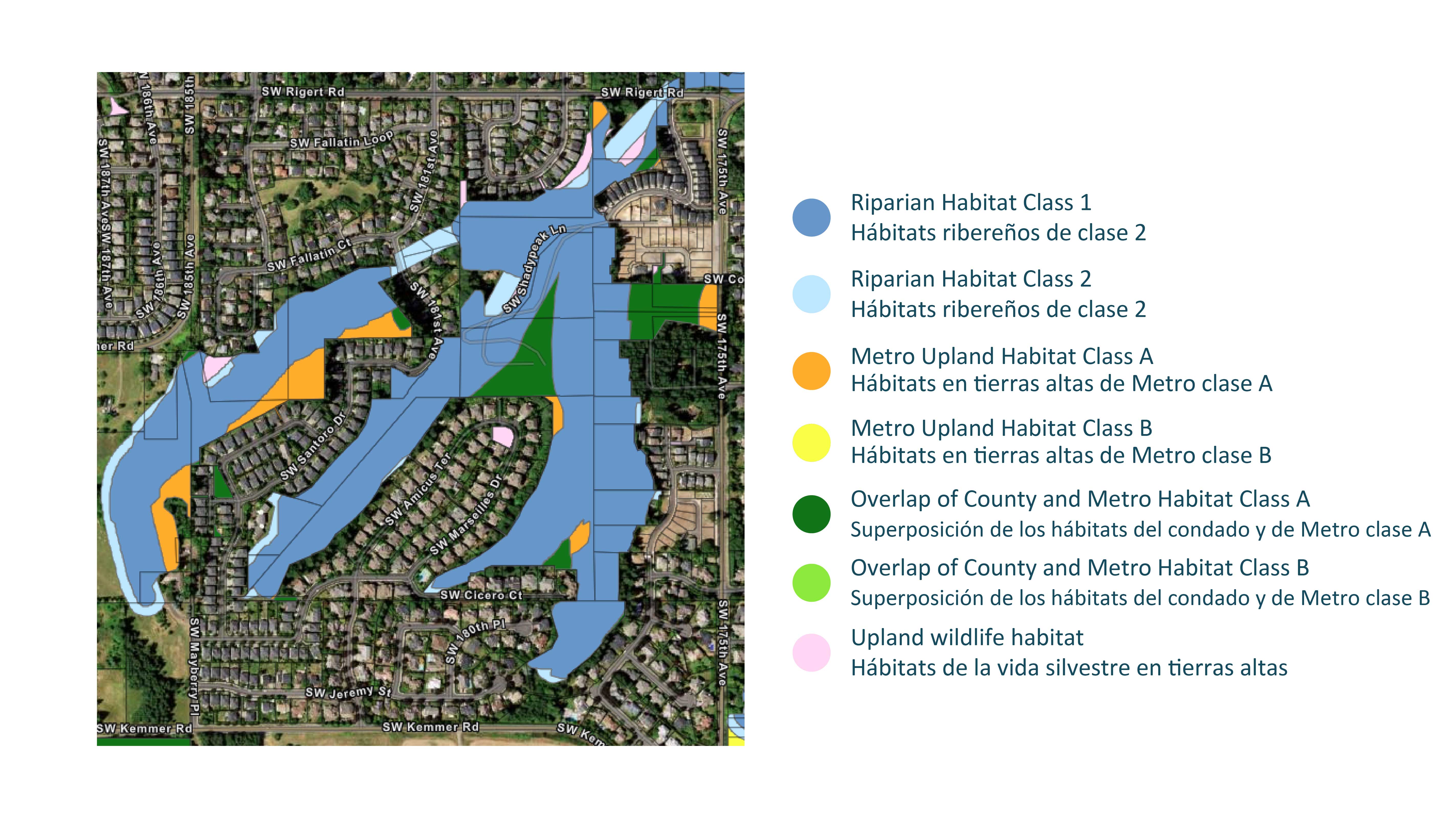
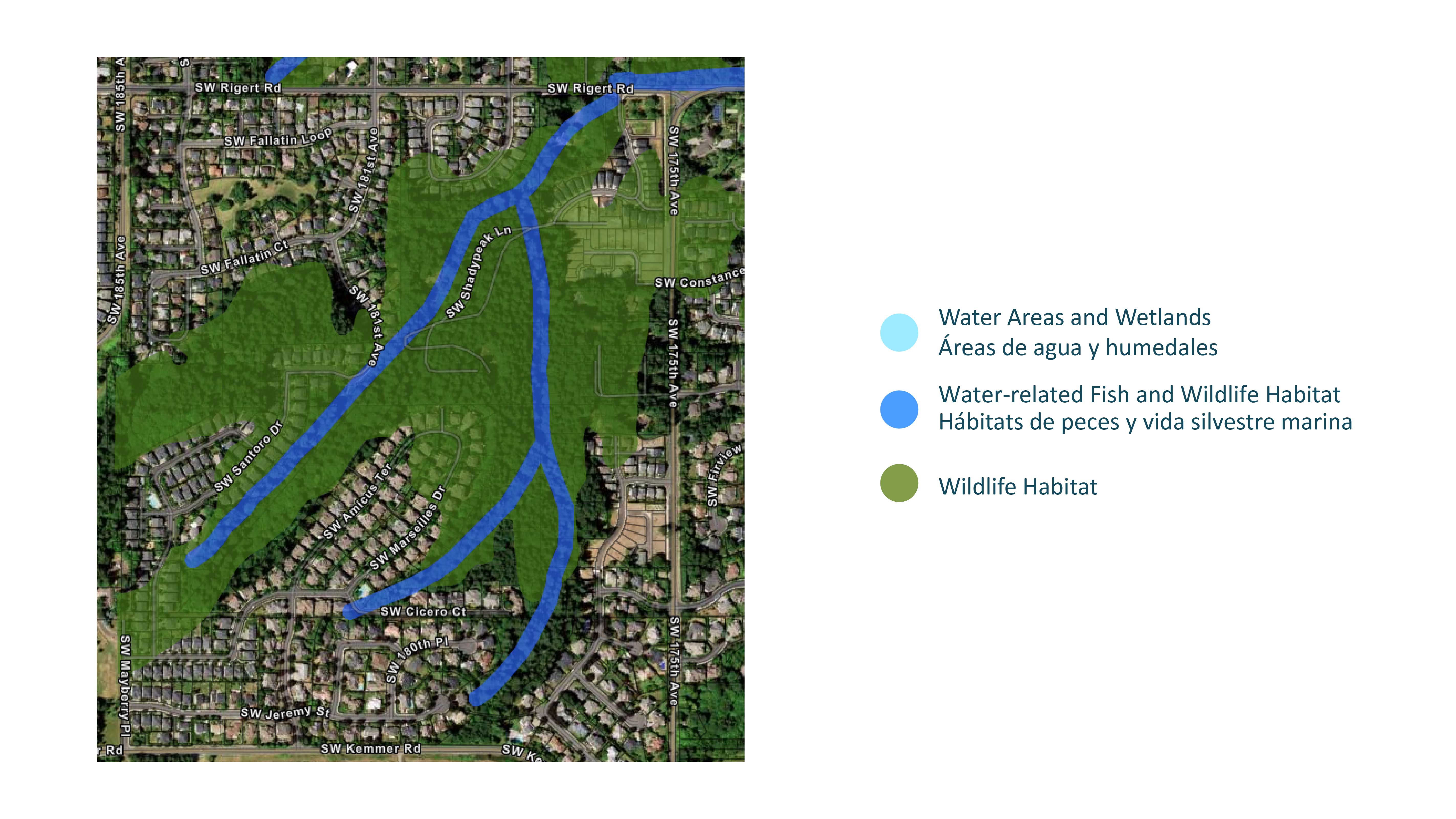
A. We started with County and Metro maps for natural resources:
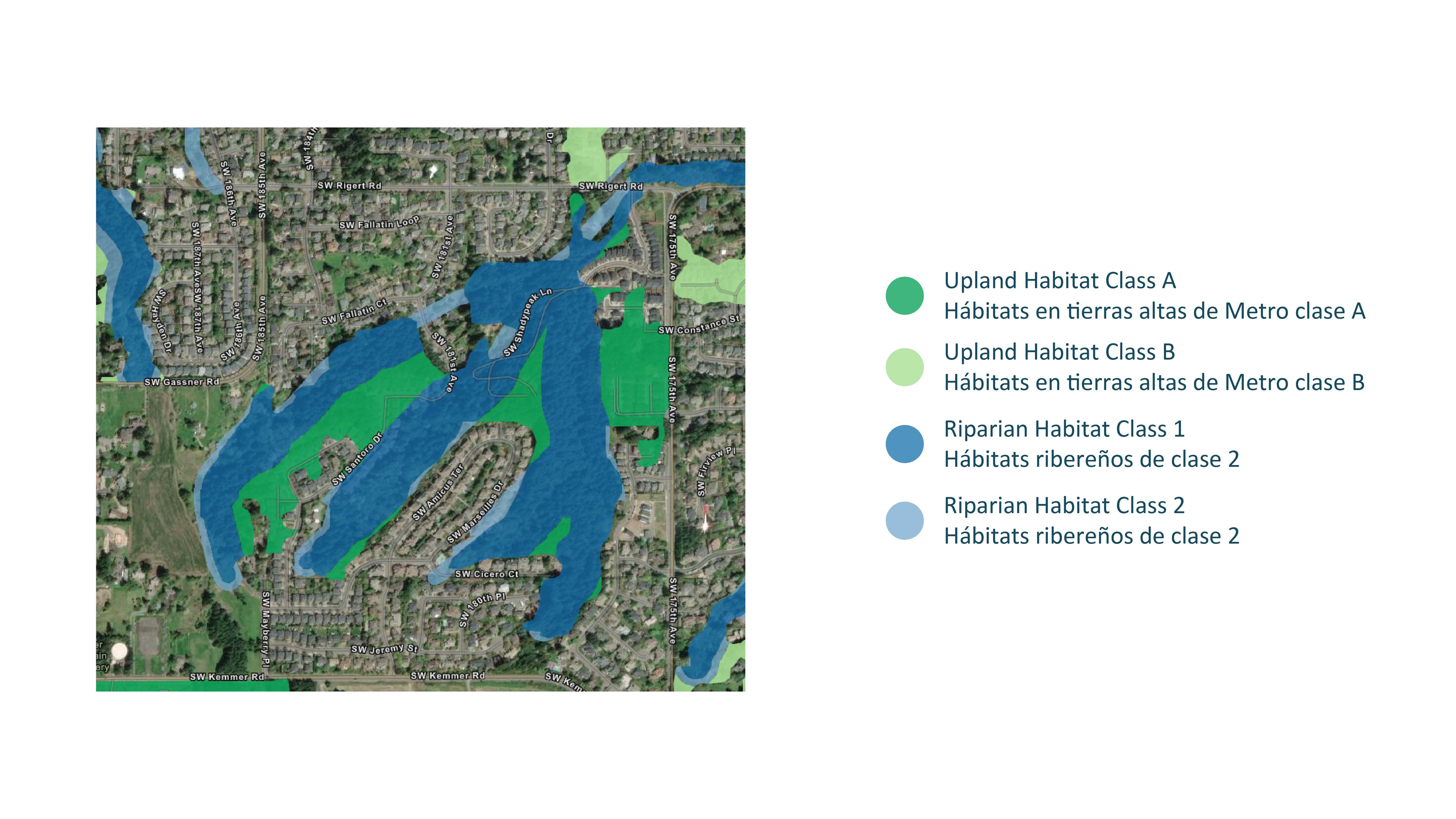
We overlaid and consolidated these two sets of map data.
B. We adjusted the consolidated map to show the natural resources that remain significant. To do this we removed:
We retained upland wildlife habitat patches less than 2 acres when they:
C. We conducted a manual review and data cleanup to remove habitat where: